Click on a lake name below to get graphical data for that lake.
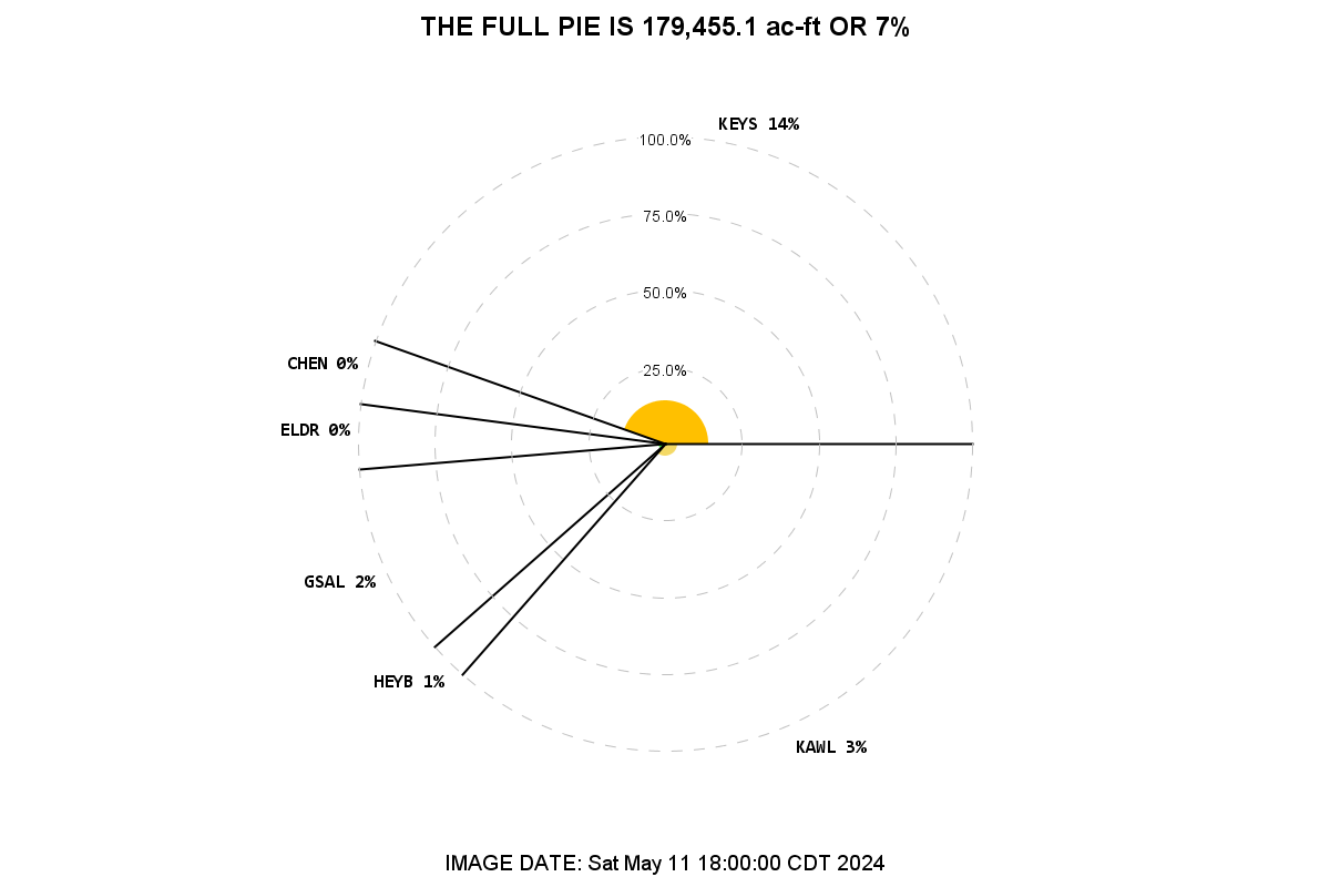
The radius of the pie slice indicates the percent of the lake's Flood Control storage that is filled at the time indicated.
Keystone
Kaw Lake
Cheney
El Dorado
Great Salt Plains
Heyburn Lake