
MYST2 : Pat Mayse Lake

Current Readings
- 2.34 ft ABOVE normal
- Pool elevation is 453.34 feet on 15MAY2024 05:00 hours.
- At this elevation the total amount of water stored in Pat Mayse Lake is 126168 acre-feet.
- Reservoir release is 433 cubic feet per second on Wednesday 15May2024 05:00.
- Flood pool is 21.84% full.
- Flood pool storage filled is 13770 acre-feet which is equivalent to 1.48 inches of runoff over the entire drainage basin.
- Flood pool storage empty is 49294 acre-feet which is equivalent to 5.28 inches of runoff over the entire drainage basin.
Gate Change
Conditions at the time of Gate Change- Saturday, 30 Sep 2017 1200
- Pool Elevation = 451.02 feet.
- Total Release = 1 (cfs)
- Gate Release = 0 (cfs)
- Unregulated Release = 1 (cfs)
- Auxillary Unregulated Release = 0 (cfs)
- Gate Settings:
- All CLOSED
Evaporation Data
- 0.287 inches - 15MAY2024 @ 07:00
Reservoir Data
| Elevation | Incremental Storage | Cumulative Storage | |||
|---|---|---|---|---|---|
| (feet) | (inches of runoff)* | (acre-feet) | (inches of runoff)* | (acre-feet) | |
| Surcharge Pool: | ---- | ---- | ---- | ---- | ---- |
| Flood Control Pool: | 460.50 | 6.76 | 63064 | 19.39 | 180904 |
| Conservation Pool: | 451.00 | 12.18 | 113680 | 12.63 | 117840 |
| Inactive Pool: | 415.00 | 0.45 | 4159 | 0.45 | 4159 |
Streambed Elevation: 392.50 feet.
Top of Dam Elevation: 488.50 feet.
* Values in the above "inches of runoff" column are based on a contributing drainage area of 175.0 square miles.
Longitude: -95° 32' 38 Latitude: 33° 51' 10
Map of Pat Mayse Lake Dam
Links for More Information
Graphs
of Measured and Calculated Lake Parameters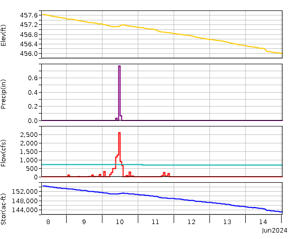
Pat Mayse Lake
Go to Tulsa District Water Control Home Page.
Disclaimer:These pages are subject to change.Last Page Update: Wednesday, 15 May 2024 05:32